Výstrahy a uzavírky
Zde najdete aktuální přehled platných uzavírek
Více informací
Na Šumavě hrozí pády podmáčených stromů.
Více informací
Uzavírky v období 1. 3. - 15. 7. 2024 - zvýšená druhová ochrana
Více informací
Uzavírka pěší trasy (červená TZT)  v části Javoří Pila - rozcestí Pod Poledníkem v období 16.11. až 14.7.
Více informací
Uzavírka pěší trasy (zelená TZT)  v části rozcestí Pod Poledníkem - Frantův most v období 16.11. až 14.7.
Více informací

Around the Jezerní slať

O vaší cestě

With an elevation of 1,065 metres, Kvilda is the highest village in the Czech Republic.
Délka 15,5km
Náročnost střední
Doba 4h30min
Převýšení 282m

Itinerary

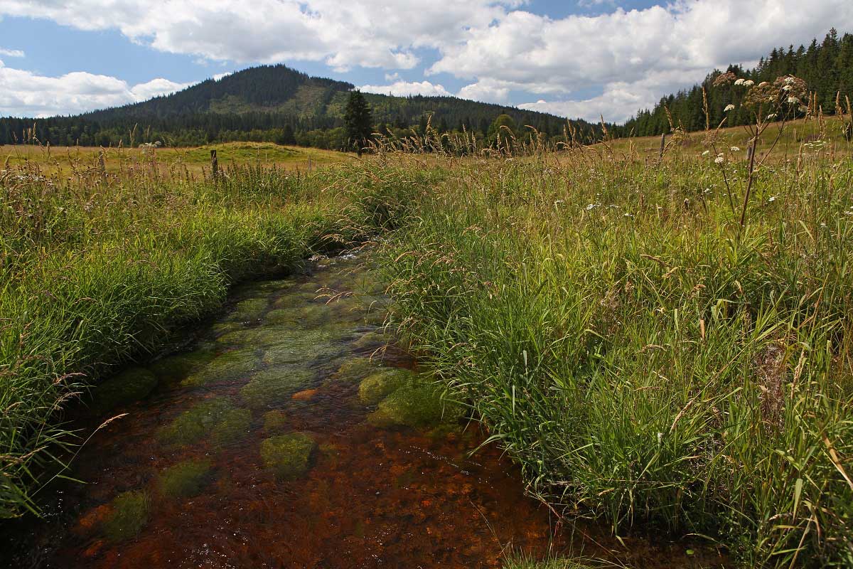
The Šumava Plains are a major source area for many Czech streams and rivers. Local specificities also include impermeable bedrock and high levels of precipitation. All of this has contributed to the evolution of the extensive peat bogs.

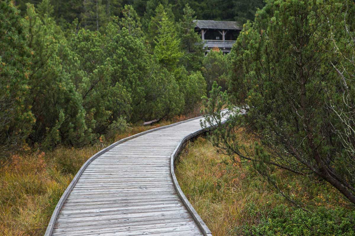
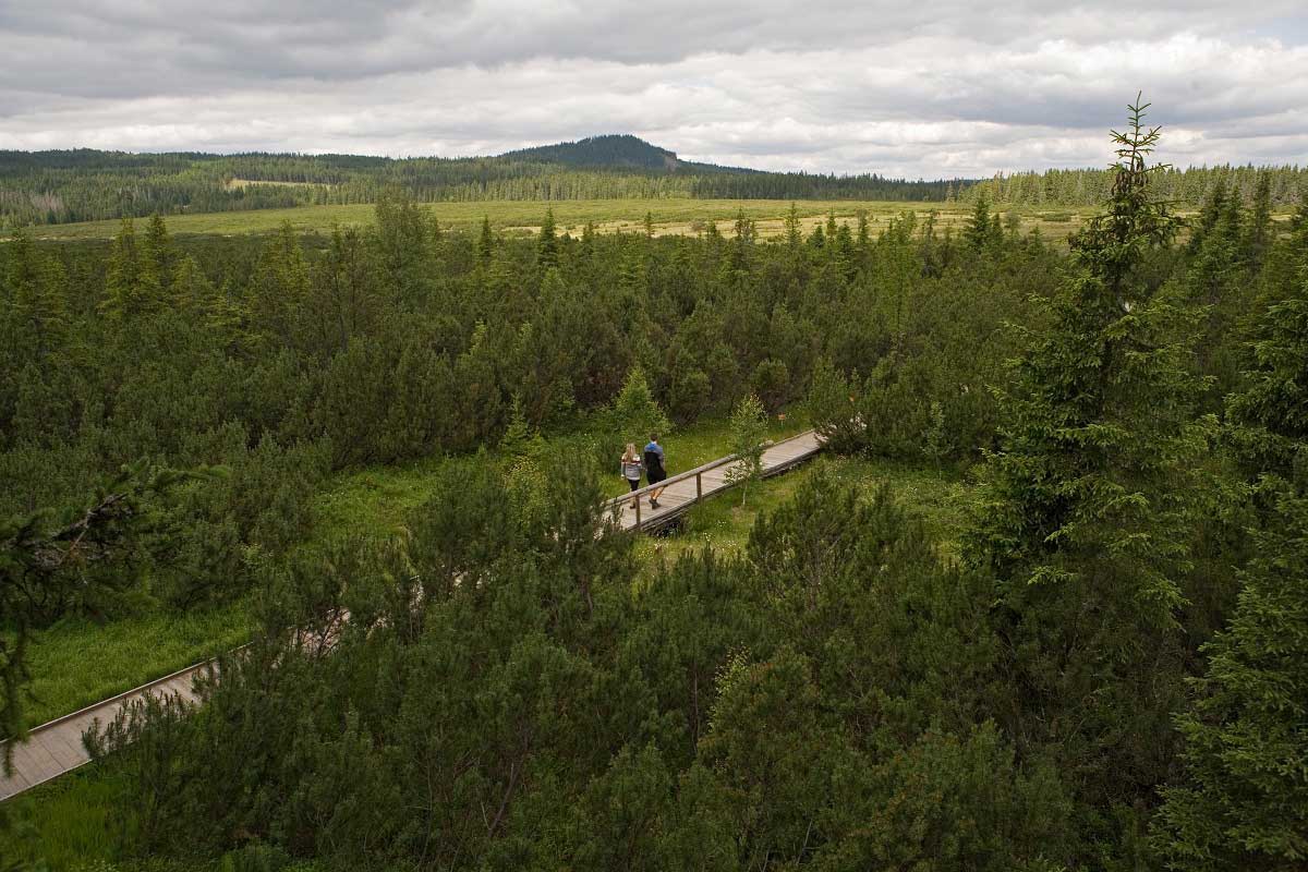
Three kilometres from Kvilda you reach the heart of the fen of Jezerní slať via a wooden walkway.

Features demonstrating the harsh local conditions include the lowest temperature ever measured: -41.6 °C (1987).

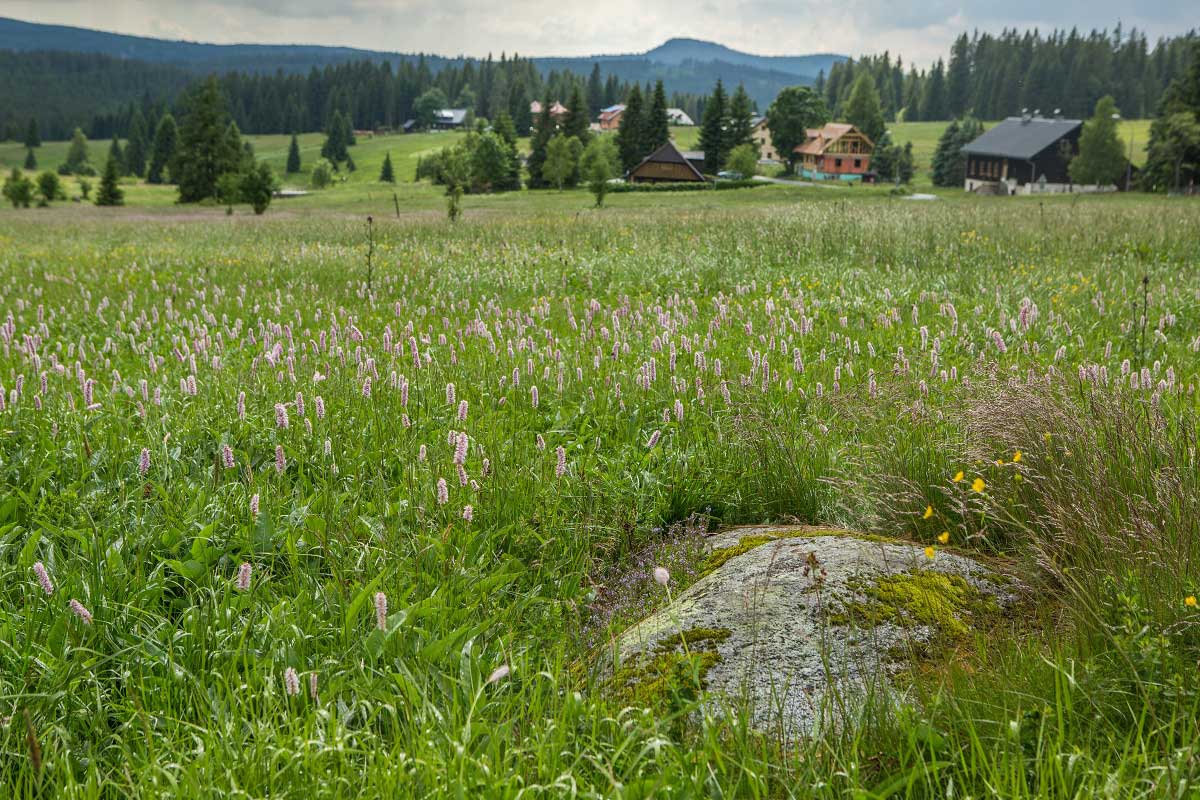
Picturesque mountain settlements include Horská Kvilda and Filipova Huť (green marks). Follow the yellow marks on your way back to Kvilda.  

Trip map

Aplikace Záchranka - může vám
zachránit život

Přivolejte Zdravotnickou záchrannou službu a Horskou službu stiskem jednoho tlačítka. Odešlete svou polohu a další důležité informace.

Skip to content