Výstrahy a uzavírky
Zde najdete aktuální přehled platných uzavírek
Více informací
Na Šumavě hrozí pády podmáčených stromů.
Více informací
Uzavírky v období 1. 3. - 15. 7. 2024 - zvýšená druhová ochrana
Více informací
Uzavírka pěší trasy (červená TZT)  v části Javoří Pila - rozcestí Pod Poledníkem v období 16.11. až 14.7.
Více informací
Uzavírka pěší trasy (zelená TZT)  v části rozcestí Pod Poledníkem - Frantův most v období 16.11. až 14.7.
Více informací

To the lake of Prášilské jezero and to Poledník

O vaší cestě

Prášilské jezero was formed by a glacier about 10 thousand years ago.
Délka 17,5km
Náročnost vysoká
Doba 5h:30min
Převýšení 526m

Itinerary

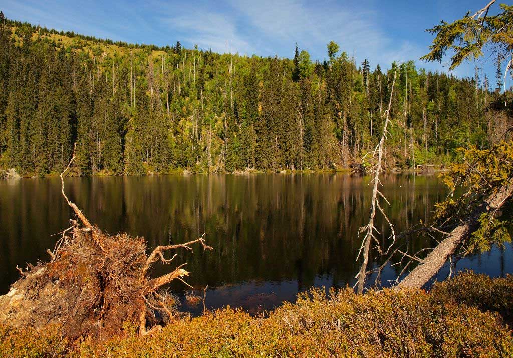
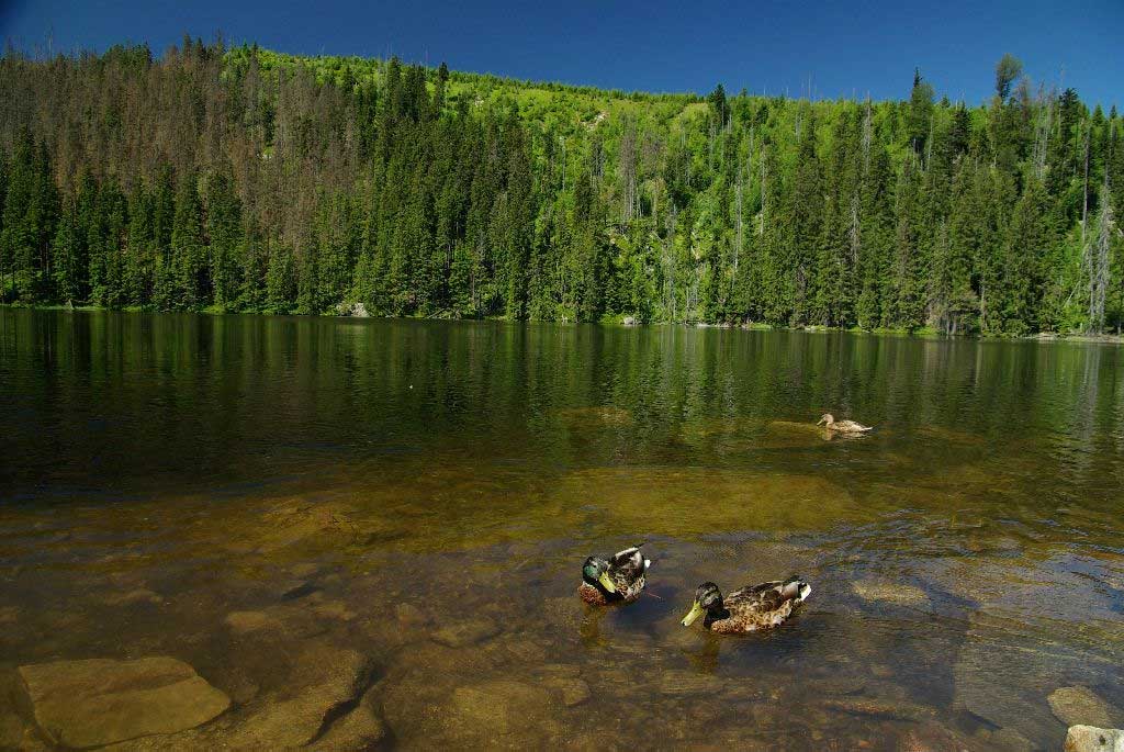
Whether starting directly in Prášily or at the car park of Slunečná, head for the lake of Prášilské jezero (red marks) which was formed by a glacier about 10 thousand years ago.

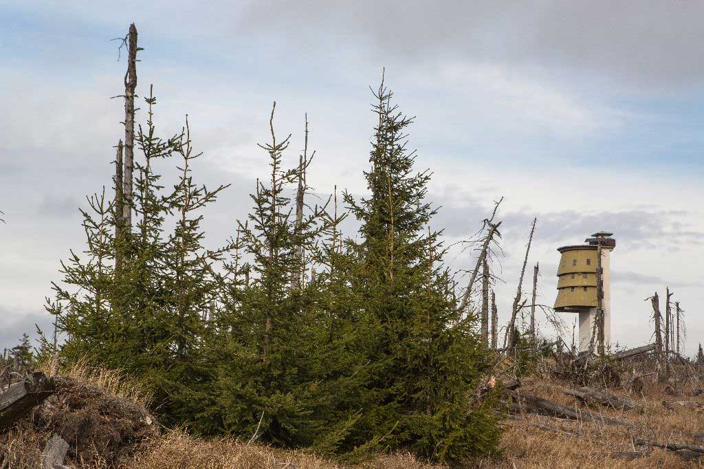
Sturdier hikers can climb up to the mountain-top of Poledník with its 37-metre-high observation tower to be rewarded with a breath-taking panoramic view.

Note the vigour of Mother Nature as demonstrated by the trail called Windbreaks in the Mountain Spruce Forest. You can get back by following the green marks.

Return along the green mark.

Please be aware that the Poledník-Gsenget route is open only from 15 July to 15 November.
Staying overnight on the top of Poledník is legally possible at a emergency overnight campsite.

Trip map

Aplikace Záchranka - může vám
zachránit život

Přivolejte Zdravotnickou záchrannou službu a Horskou službu stiskem jednoho tlačítka. Odešlete svou polohu a další důležité informace.

Skip to content